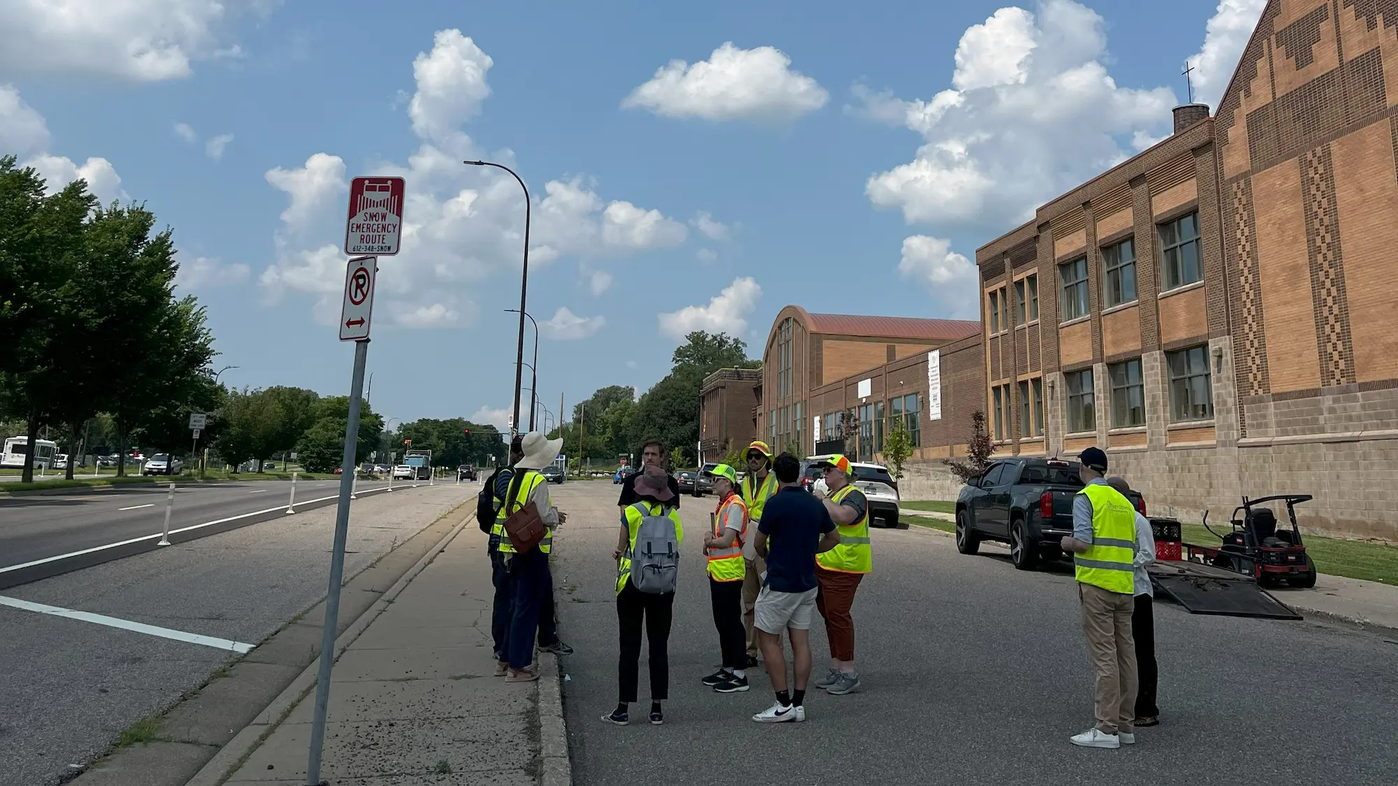
In early July of 2024, transportation safety experts from the World Resources Institute (WRI) and New Urban Mobility Alliance (NUMO) toured the Olson Memorial Highway corridor to document safety failures and recommend interventions.
NUMO & WRI have released a report outlining their findings and recommendations. The report summarized the top five major issues identified during the inspection that are likely contributing to crashes on Olson Memorial Highway.
The report findings underscore what community members have been saying all along: that MnDOT’s initial safety improvements do not go far enough to ensure safe access for all Olson users, and that additional changes must be made as soon as possible.
Identified Safety Issues
Land use on the corridor, especially between Morgan Avenue and Lyndale Avenue, is not consistent with current speed limits of 30–40mph. Schools, libraries, parks, and medium/high-density residential development are generating pedestrian and bike activity, but current road conditions do not safely support these activities. High speeds are also believed to be a contributor to severe crashes between vehicles at intersections and turns. Service lanes are wide with no posted speed guidance, which allows vehicles to speed.
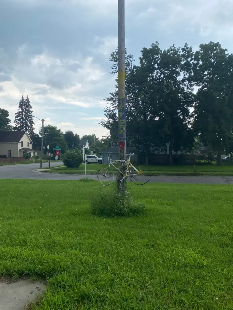
Pedestrian mid-block crossings are unmarked, unprotected and sometimes unlit. This poses high risk to pedestrians or other vulnerable road users attempting to use these crossings with current speed limits of 40mph. We recommend marking all pedestrian crossings with adequate signage and warning to drivers to yield to pedestrians. We also recommend protecting them with signals or raised crossings. Signals such as HAWK (High-Intensity Activated cross WalK) or RRFB (Rectangular Rapid Flashing Beacon) can be used. There are long stretches of road from Thomas Avenue to Penn Avenue, as well as Morgan Avenue to Humboldt Avenue, with no signalized crossings for pedestrians.
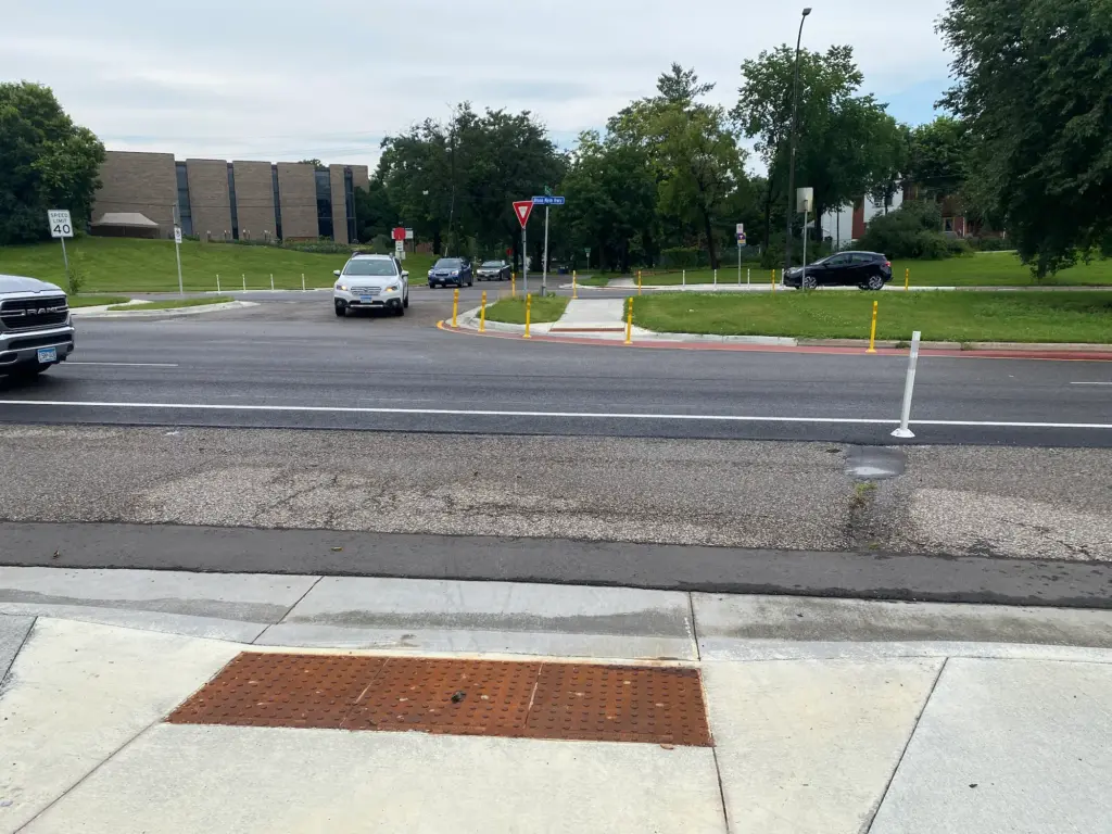
The large size of intersections and high corridor speeds increase risk of severe collisions during left turns. We recommend using dedicated left turn signal phases at locations where demand for turns exist. Traffic surveys can also be used to close certain left turns, especially at unsignalized intersections, and to direct turning traffic to the nearest signalized intersections. At some intersections left turn signals were provided but inoperative at the time of inspection. The lack of left turn signal phases makes it difficult for pedestrians, as the pedestrian green phase often conflicts with left turn vehicles at intersections.
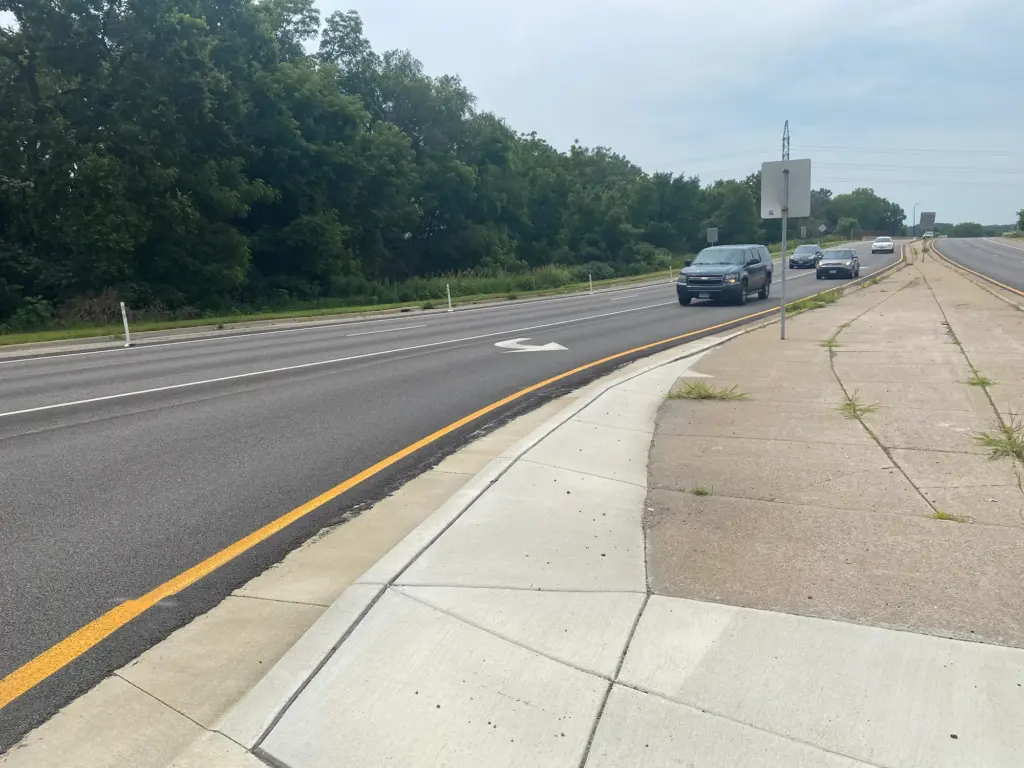
Large intersection sizes are also contributing to the issues of speed and turns mentioned above as drivers try to clear the junction quickly turning across multiple lanes. Drivers waiting inside the intersection can block visibility for other road users. The presence of service roads joining the corridor at intersections further increases complexity. We recommend tightening intersections and shortening crossing distances further with additional curb extensions and lane reductions. Providing clear directions and lane and turn guidance, especially at the I-94 interchange, can also help drivers navigate the intersection safely. Re-evaluate the use of service roads, which, in some cases, do not serve any necessary purpose. Service roads entrances can be moved away from major intersections to reduce intersection complexity.
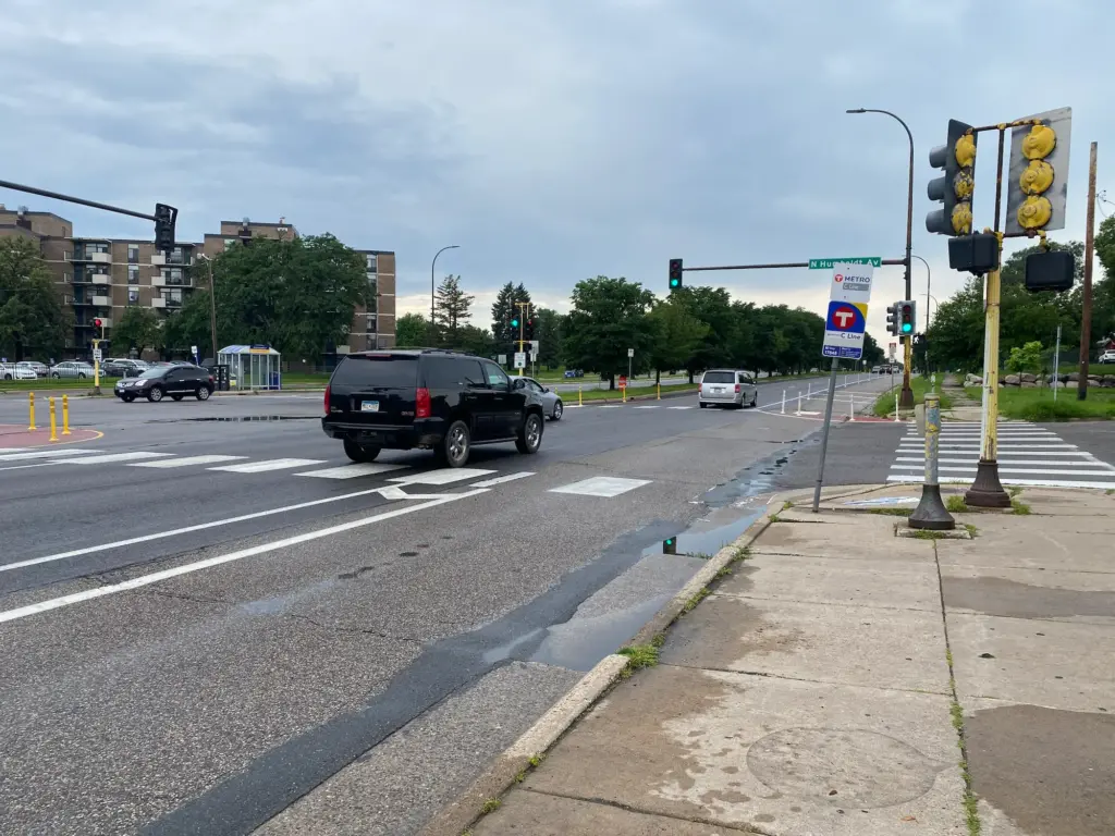
The corridor requires regular maintenance of facilities to provide high quality infrastructure for vulnerable road users. There are multiple issues of pavement quality, missing or faded road markings, inoperative pedestrian signal buttons, poor drainage and broken or poorly located curb ramps. These are more evident on the corridor west of I-94. All of these are safety and universal accessibility issues, as they compel road users to walk on the roadway, cross at locations other than safe crosswalks or otherwise reduce or avoid trips on the corridor. Sidewalks should provide continuity on the corridor for all road users, regardless of ability.
The recently implemented temporary curb extensions and lane closures on the corridor are opportunities to upgrade and utilize the space for new, higher-quality infrastructure for bicycle and pedestrian use.

Safety Recommendations
Reduce speeds to:
- 25mph on the eastern half of the corridor (matching speeds on Olson/6th Ave in the North Loop)
- 25mph on all approaches to Olson+Lyndale
- Up to 30mph on the rest of the corridor, if pedestrian infrastructure is adequate
- 20mph maximum on service roads
- Implement roadway design changes like removing lanes to support lower speeds

Mark all crossings that pedestrians are expected to use with adequate signage and warning drivers to yield to pedestrians. Protecting them with HAWK or RRFB type signals.
Provide protected crossings in the long stretches that currently lack them.

We recommend using dedicated left turn signal phases at locations where demand for turns exist. Traffic surveys can also be used to close certain left turns, especially at unsignalized intersections, and to direct turning traffic to the nearest signalized intersections. At some intersections left turn signals were provided but inoperative at the time of inspection and these should be used.
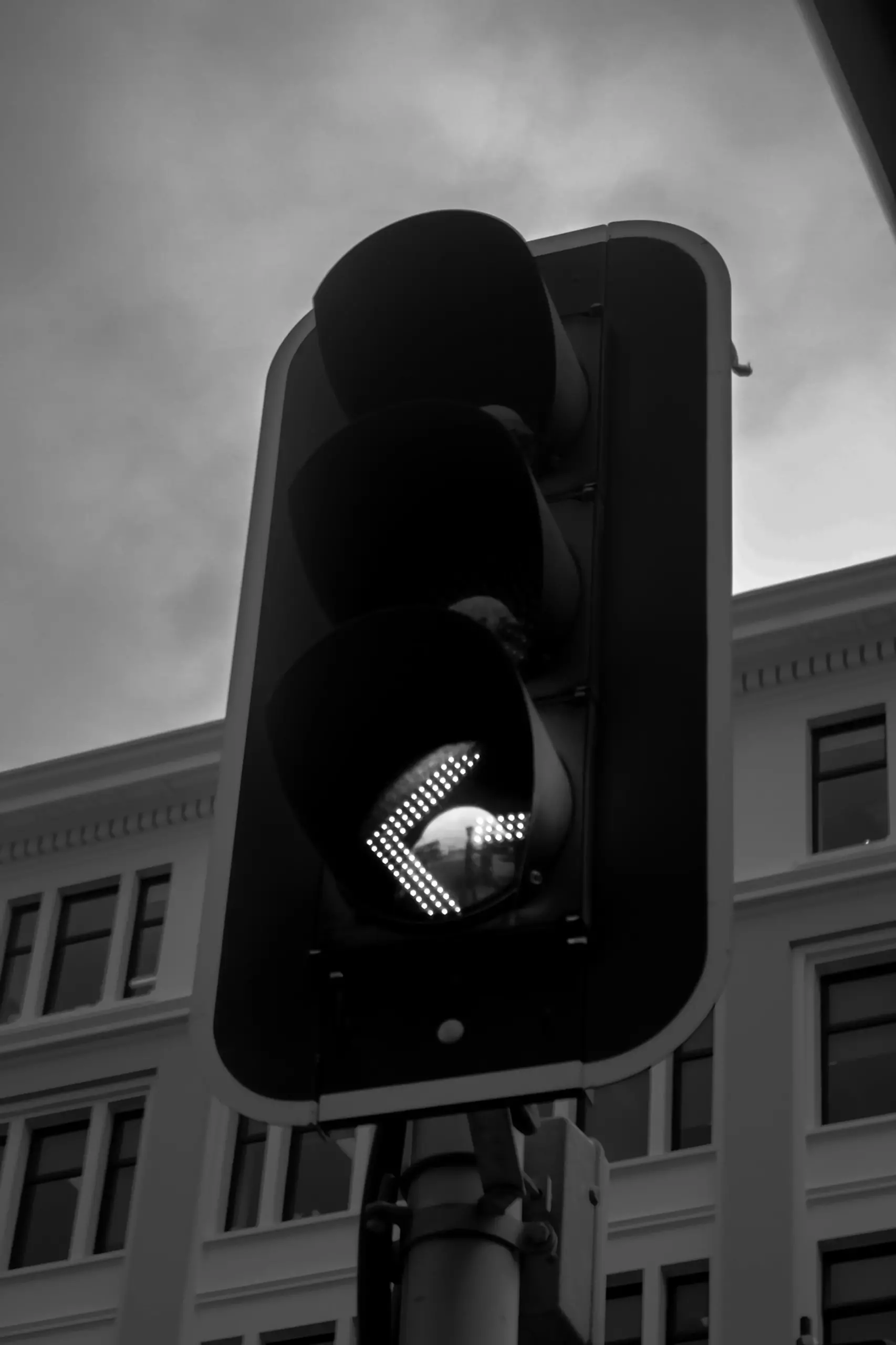
Use dedicated left turn signals at intersections.
Conduct traffic surveys to determine if left turns should be prohibited at any intersections, especially those without traffic lights.
Use the existing, inoperative left turn signals.

Sidewalks should provide continuous access for road users of all abilities.
Conduct regular maintenance to provide high quality infrastructure for vulnerable road users.
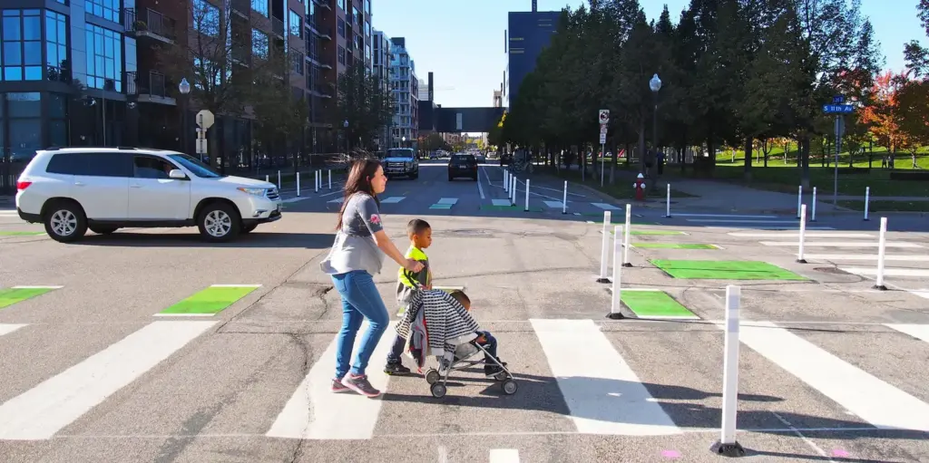
Recent curb extensions and lane closures are opportunities to upgrade to higher-quality pedestrian/bicyclist infrastructure.
Learn More and Take Action
Read the full report and ask decision-makers to implement immediate safety improvements on Olson Memorial Highway.