The Minneapolis Park and Recreation Board (MPRB) is in the final phase of a Cedar Lake/ Lake of the Isles Master Planning Process. The plan will guide the future of Cedar Lake, Lake of the Isles, and surrounding parkland, Dean Parkway, Kenilworth Channel, and a portion of the Cedar Lake Regional Trail for the next 20 to 30 years. The public comment period ends on March 10, 2023.
The plan that has been submitted for public comment is a great plan for the privileged residents surrounding these lakes, but it is a horrible plan for elderly folks, people with disability, and mobility challenges. The MPRB states values of diversity, equity, inclusion, and the general public, but the “preferred plan” is at odds with these values.
These two lakes are components of the Chain of Lakes Regional Park, a highly utilized and trafficked public park. Thus, the scope of regional park planning is supposed to reach beyond the immediate residents’ voices. Because Regional Parks draw park users from a broader geographic range than just nearby neighborhoods and are funded by the Metropolitan Council and the state of Minnesota, the immediate residents should not hold sway over the future design of the park. A broader input should be taken into account for future plans.
The plan submitted has huge deficiencies in access and circulation for those outside the small group of residents bordering Cedar Lake. Cedar Lake’s design leaves half of the lake inaccessible to the public. Many of the residents who have the advantage of living near the lake demanded that Cedar Lake Regional Park remain “hidden” and “secluded”. Those are not positive attributes for regional parks or any public park.
The “Preferred Plan” retains the status quo for the residents whose lots abut the public parkland. Hence, they retain their private use of the lakefront and benefit both recreationally and financially from this situation on the east side of Cedar Lake and on the South side of Kenilworth Channel. They can keep their private docks, patios, fences, and landscaping without any public interference. They store their canoes and other watercraft at no cost on our parkland. Keeping it inaccessible doesn’t benefit the public. Put simply, neighborhood residents want the supposedly public park kept exactly how they want it to be—exclusive versus inclusive.
The most severe impediments to Cedar Lake Regional Park start at the east shore of Cedar Lake where the residents’ property abuts the public’s parkland. The Cedar Lake Park Association (the nonprofit group that pretty much controls the north/northeast corridor) says, “The residential activity around the northern and eastern shoreline has effectively blocked access to much of the lake and makes walking around its shoreline a daunting task. The area is difficult to access,” (Cedar Lake Park Association: A History). In fact, the east shore is not accessible to any of the public and has been the private domain of just sixteen residences. These residents have had, at the acquiescence of MPRB, exclusive use of the parkland and the lake shore for the last 80 years when “temporary permits” were issued with the stipulation that the “encroachments will not impede public access to the parkland”. Cedar Lake Regional Park is the only park in the city where homeowners have what amounts to private lakefront property. They occupy public lakeshore with the benevolence of the MPRB.
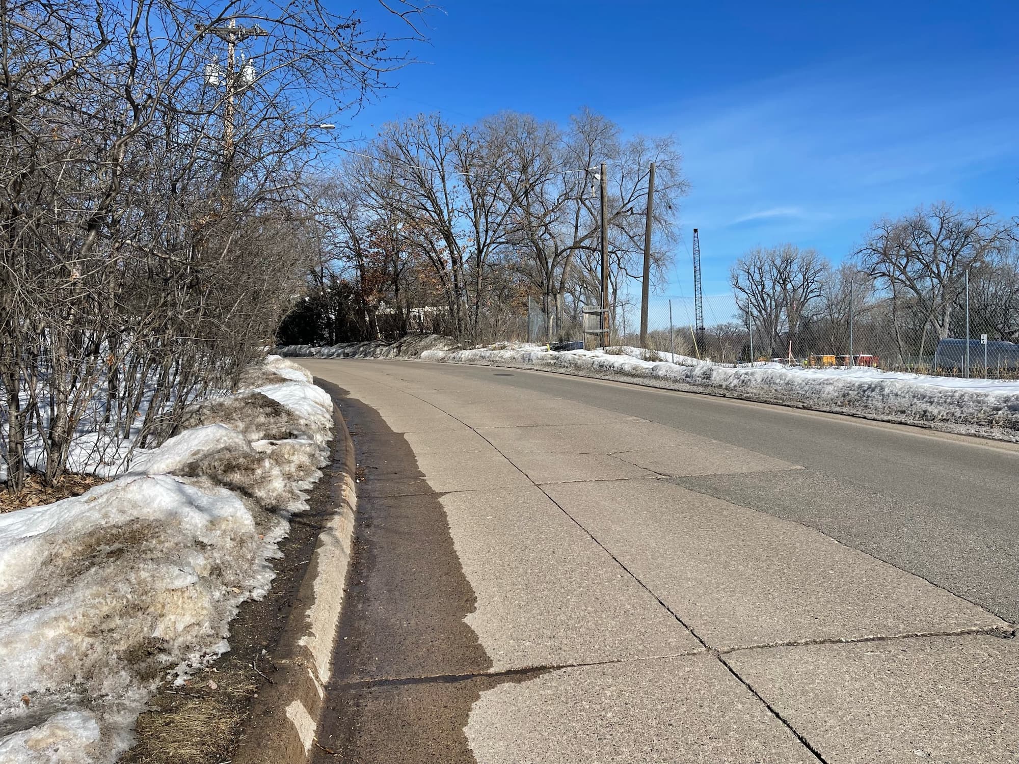
To access Cedar Lake, any ADA-impacted, any mobility-afflicted, and any elderly people have to re-connect to Cedar Lake by way of Burnham Boulevard, a two-way traffic road with no sidewalks, and poor sightlines. You must walk this busy street for two-and-a-half blocks to Burnham Bridge where a narrow dirt path leads into the “Wild and Natural” area. Pedestrian access to their public parkland is also inaccessible at Kenilworth Channel, where private land also abuts parkland, and there are no accessible paths for pedestrians or bikes.
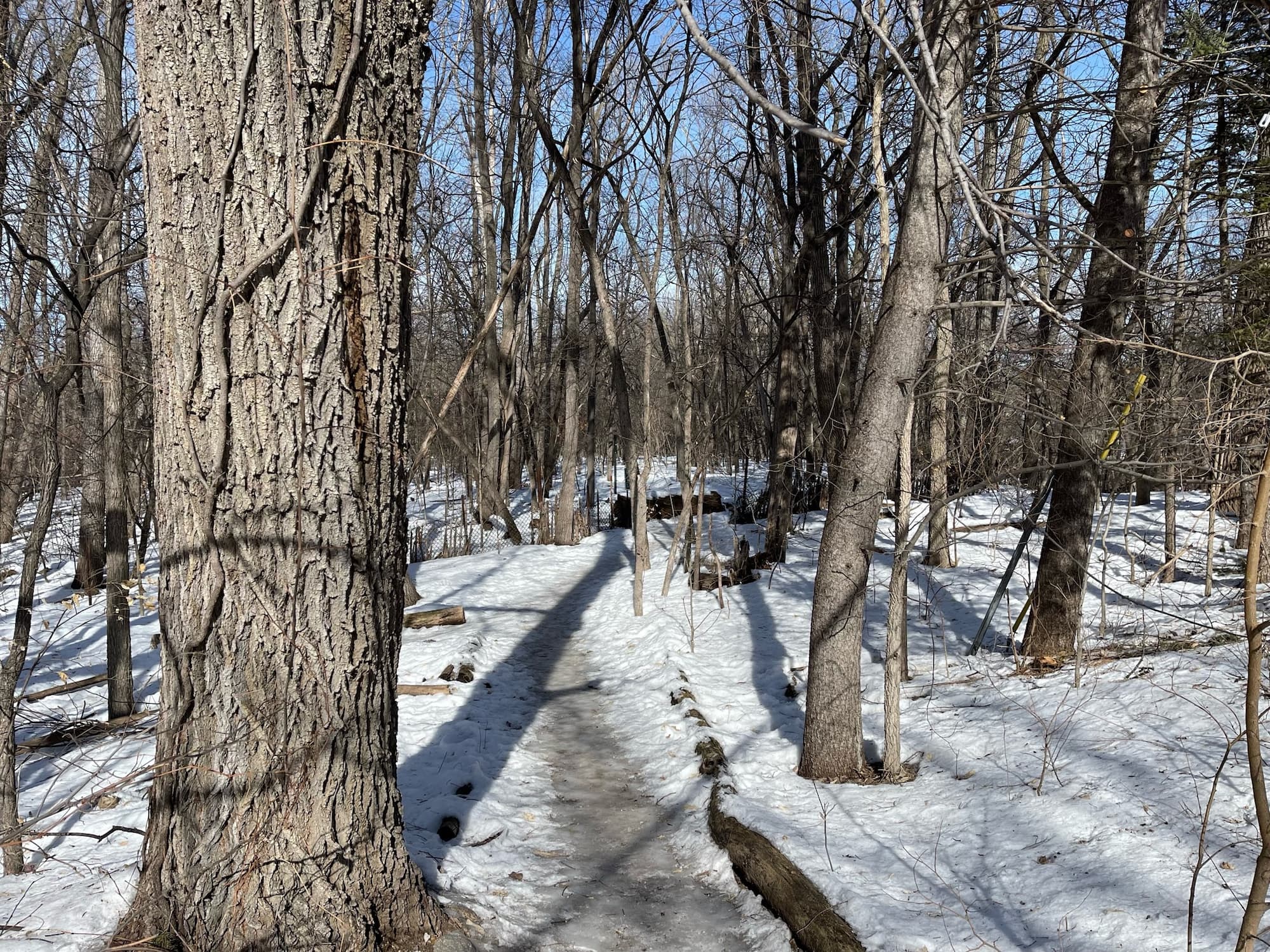
The entire N/NE corridor of Cedar Lake Park has a maze of “cow paths” that are uneven, riddled with exposed tree roots and rocks, and simply impassable for wheelchair users, mobility challenged, and elderly who simply can’t risk falling. A hard, level, the smooth path is necessary for the segments of the public that provides safe access for them. Otherwise, large segments of this Regional Park remain inaccessible. An added benefit? A paved path can be maintained during winter months and therefore provide access for all the public year long.
 An inaccessible staircase along the Kenilworth Channel, the only way to access Cedar Lake. |  This cow path is the only access point to East Cedar Lake Beach. |  Because there is no path around the east side of Cedar Lake, people must walk on Burnham Road, which does not have a sidewalk. |
Peter Harnick, president of the Trust for Public Land, stated, “The Excellent Urban Park is accessible to everyone regardless of residence, physical abilities, or financial resources. Parks should be easily reachable, usable by the handicapped and challenged, and available to all the public,” (The Excellent City Park System). This can not be said of Cedar Lake Regional Park.
This privileged situation should have been addressed and corrected long ago. The entire shoreline of Cedar Lake Park was acquired during Theodore Wirth’s tenure. He advocated for the acquisition of the park area and intended that “all of the shoreline of Cedar lake and the shores along Kenilworth Channel all be rendered available to the public,” (T. Wirth, Minneapolis Park System, 1883-1944, 1945). In 1914, there were 12-foot walkways established on both sides of Kenilworth Lagoon from Lake of the Isles to Cedar Lake. In 1963, MPRB put forward a plan to improve “a strip of land along the eastern and northern shores of Cedar Lake.” The plan identified the area as “the only remaining unimproved land on the lakeshore” and included footpaths, plantings, and facilities for picnicking. The plan never came to fruition. Subsequent plans in 1983 and 1997 were also not implemented due to nearby resident opposition.
At the onset of the current Master Plan process, two themes were recognized as priorities: water quality and access/circulation. The design firm, Ten X Ten, submitted a design plan to address the access and circulation issues identified. The plan was labeled “Unique Lake Experiences” and addressed all the deficiencies at Cedar Lake: a public path along the east side of Cedar on park property extending to Kenilworth canal; pedestrian access via a hard path through the channel to Lake of the Isles; Pedestrian bridges at Cedar and Isles over the channel; a shoreline hard path through the N/NE section of Cedar to connect to the NW section, a lakeshore boardwalk for pedestrians at the NW dangerous confluence. This plan would be accessible and safe for disabled, mobility-challenged, and elderly people.
Shortly after the “Unique Lake Experiences” plan was out, the exclusive nearby residents called the plan amenities of accessible paths and pedestrian bridges “unnecessary” and “unacceptable” during the Master Plan Process and Citizen Advisory Board meetings. They want the lake to remain hidden and secluded, despite it being public land. The “Unique” plan was scrapped and replaced with the “Preferred Plan”, which eliminated the public access to the east side of Cedar, the ADA-compliant path at Kenilworth channel, the pedestrian bridges over the channel, the ADA-compliant hard path through the N/NE corridor, and the lake shore boardwalk to safely accommodate pedestrians at this very dangerous confluence. In short, no change. The MPRB cannot approve the “Preferred Plan”, as it is hypocritical to their values of inclusivity, accessibility, and public land access.
Cedar Lake Regional Park is unlike any other regional park in Mpls. A long-standing privileged situation at east Cedar destroys the public’s opportunity to circle the lake. A hidden and secluded park is perceived by many as unsafe and therefore, avoided altogether. Treacherous cow paths are unsafe and inaccessible to much of the public. Every professional landscape firm hired to assess conditions have cited the same problems to be corrected. In addition to violating the MPRB principles of equity, the situation at east Cedar and Kenilworth Channel violates the MPRB’s encroachment policy. It states, “The Board strongly opposes diversion of park property by any individual, institution or organization, public or private, for any purpose other than that for which the lands were required. Any encroachments issued must not impede public access to parkland.”
I urge everyone interested in making Cedar Lake Regional Park a park for all the public, an inclusive and diverse park, to make your comments heard by taking the public survey. The water quality report is a good plan to protect and enhance the lake. However, the access and circulation agenda is horrible and must not be endorsed by the Park Commissioners. This portion of the “Preferred Plan” must be furiously challenged and rebuffed.